Gough Buildings 4
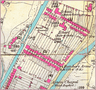
The centre of the "island"
Detail from
First Edition
25 inch
Ordnance Survey
map of 1877
Powys
County Archives

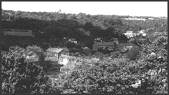
Photograph from
the collection
of the late
John Morris,
taken in the 1950's
 This photograph
- taken from the South - shows much of the area included in the
map detail, with Oddfellows Street in the centre and Yorath Chapel,
Cwmgiedd away in the distance (right).