
Gough Buildings 2
A glimpse in the Ynyscedwyn
Estate records
Both images by
kind permission of
West Glamorgan
Record Office
(Ref. D/D/Yc 1175)
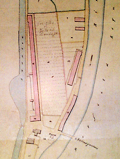
The southern end of the "island" of old Ystradgynlais from a map in the estate books of the Ynyscedwyn Estate dated 1838, showing houses and garden plots between the river and canal.
The large building at the bottom of the image is the Ynyscedwyn Arms.
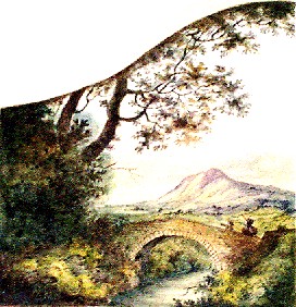
Watercolour detail painted into a corner of a page of the Ynyscedwyn estate books