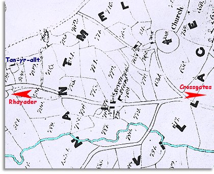
The map below is based on the
tithe map of around 1840.
It was made by the church authorities for tax purposes.
The men who made it did not put north at the top so we have turned it
to make it easier to compare with the later map of Nantmel. This is why
the old writing on the map is at an angle.
The map gives us a good idea of the community in
the early years of
Queen Victoria's reign.