Machynlleth
Population graphs
  Census figures for the area  
  The population of this mountainous western fringe of Montgomeryshire changed throughout the Victorian period as people moved about to earn a living.
 
  For the last 200 years the government of the country has organised a census of the population every 10 years.
This was a count of every person living in Britain. From 1841 the men employed to go round from house to house were also asked to list everyone by name and record how old they were and what they did.
Each census recorded more information and today the censuses record a great deal of information about each of us.
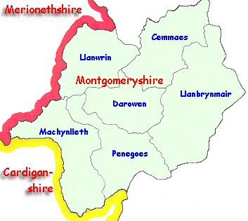
Britain was divided into parishes and the figures record how many people lived in the parish.
  The parish usually consists of the village around the parish church and the area around it. Some parishes contain several small communities.
Choose from the list below to view graphs of the population of local places in the Victorian period.


Back to Machynlleth menu