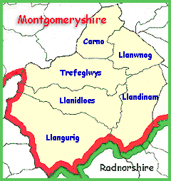
 Britain
was divided into parishes (shown on the map) and the figures record how
many people lived in the parish. The parish usually consists of the village
around the parish church and the area around it. Some parishes
contain several small communities.
Britain
was divided into parishes (shown on the map) and the figures record how
many people lived in the parish. The parish usually consists of the village
around the parish church and the area around it. Some parishes
contain several small communities.
Choose from the list below to view graphs of the population of local places in the Victorian period.