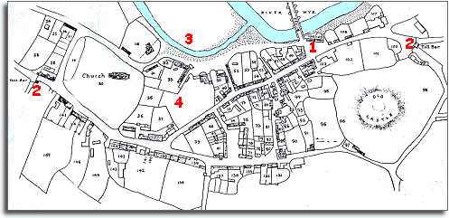
The image below is based on the tithe map for Builth made in 1840. It shows a small market town as it was at the beginning of Queen Victoria's reign. The basic shape of the town centre as it is today is recognisable but there some differences to the modern Builth Wells. You can see that the town has developed on an important crossing place on the River Wye. Many of the buildings shown on this map would have used stone taken from the castle when they were built.

 1
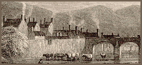
At this time the space at the Breconshire end of the bridge over the River
Wye was an open square. The Market Hall
(now the Wyeside Arts Centre) had not yet been built and on the site were
small cottages as you can see in this engraving of the time.