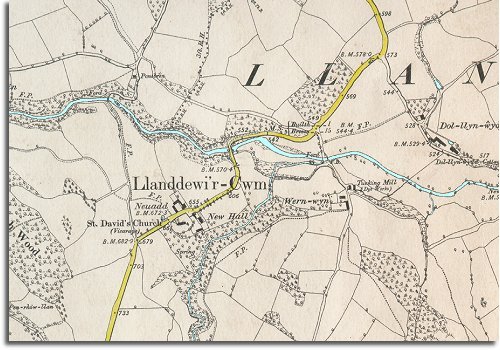
The map below was made in 1888 at a scale of 6 inches = 1 mile and has more detail. From this we can see that the area does not appear to have changed greatly. The hills around the Duhonw valley are still dotted with farms and cottages and there do not appear to be any major changes.

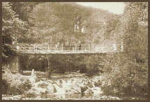
 This
unchanged countryside was very attractive for the
visitors who came to take the waters at Builth Wells though,
and many made the walk out to the bridge below the church (right).