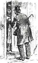
The
man from the census calls
| Census figures for the area | ||
| The population
of this part of Radnorshire
and north Breconshire changed
throughout the Victorian period as people moved about to earn a living.
Information about the local population was recorded in the censuses which were taken every ten years. Men were employed to travel round the district recording who lived in which house and what they did. The population figures are taken from these records. |
|
|
|
|
The
man from the census calls
|
|
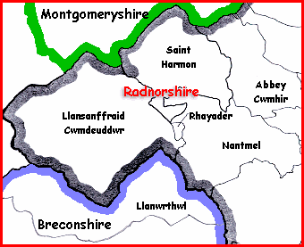
Britain was divided into parishes
(shown on the map) and the figures record
how many people lived in the parish. |
|
|
||