Newtown and district
Population graphs
  Census figures for the area  
  The population of this corner of Montgomeryshire changed throughout the Victorian period as people moved about to earn a living.  
 

While the town of Newtown struggled to develop its flannel industry in competition with the large towns of the north of England, many of the poorest people working in the remoter areas moved out of the county altogether.

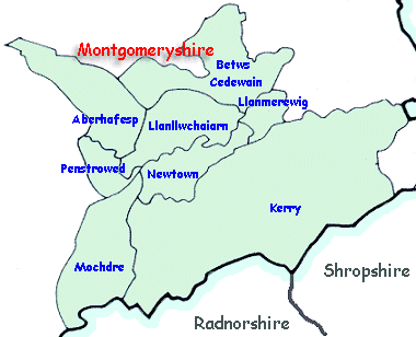
Britain was divided into parishes (shown on the map) and the figures record how many people lived in the parish.


Information about the local population was recorded in the censuses which were taken every ten years. Men were employed to travel round the district recording who lived in which house and what they did.
The population figures are taken from these records.

Choose from the links below.


Newtown
Llanllwchaiarn
 
 
Mochdre
Kerry
 
 
Betws Cedewain


Back to Newtown menu


Back to top
Go to places menu