| Betws Cedewain in 1903 | ||
|
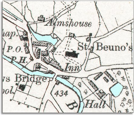
The map below is a section of a map
made at a scale of 6 inches to
1 mile in 1903. |
|
|
The village has not changed dramatically and - though there are one or two changes - Betws is still the small rural village it was in 1839. |
||
| On
the south side of the river a new village school
has been built. By the time this map was made all
local children got an education. This gave them a better awareness
of the world outside, and new skills like reading and writing. For a few
children this opened up new opportunities when they were older. |
||
|
With more people able to write, the Post Office (marked P.O.) is important. As familes split up to go and find work elsewhere, letters were the only way to keep in touch. |
|
|
|
|