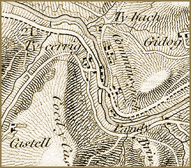
The building marked
Pandy on the map is a fulling mill.
Watermills were an important feature of the Victorian landscape in Montgomeryshire.
They used the energy of the moving waters of the river to turn the mill
wheel. Cogs and wheels and belts attached to the mill wheel would then
drive machinery.
Some mills powered millstones to
grind corn, others powered looms to weave flannel. This mill drove wooden
hammers to force a chemical called fuller's earth into woollen cloth
to clean it.