TITHE MAPS
In Victorian times almost everyone had to pay tithes to the Church of England. At the beginning of the reign the tithe became a tax on your property. The maps were drawn to see what property everybody had

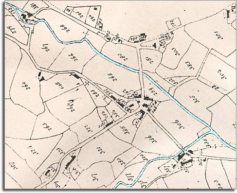
| Llangynog in 1840 | ||
|
The map below is based on the tithe
map of 1840, and gives us an idea
of the village of Llangynog in the early Victorian
period. |
 TITHE MAPS In Victorian times almost everyone had to pay tithes to the Church of England. At the beginning of the reign the tithe became a tax on your property. The maps were drawn to see what property everybody had |
 |
|
The 1841 census
returns tell us who was living in the community around this
time. |
||
|
|
||