Brecon and district
Victorian maps
  Llanfrynach in 1886  
 

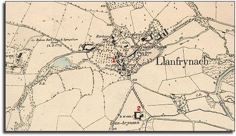
The map below is a section of a map made at a scale of 6 inches to 1 mile in 1886.
It is more detailed than the 1840 tithe map of the parish, and it helps us to see any changes which have come during the long reign of Queen Victoria.

6in map of Llanfrynach
  The map shows the village to have changed very little since 1840. The big houses are still there and there has not been a big extension of the village.
The White Swan and Victoria Inn are still open for business and so is the canal. By this time traffic on the canal would have been much less than in earlier years as the new railways took much of its trade.
 
  1. Although the 1841 census tells us there was a school here at the beginning of Queen Victoria's reign, by the time this map was made all the local children would have attended the village school.  
  2. The map shows one new property which was not there in 1840. To the south of the village we can see that Llan-brynean has been built.
..
 
  Compare with Llanfrynach in 1840...  
 

Back to Brecon maps menu


Link to sources
Back to top
Go to Brecon menu