Llanfyllin and district
Population graphs
  Census figures for the area  
 

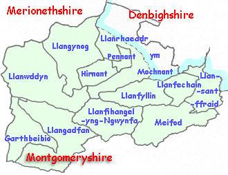
The population of this area in the North of Montgomeryshire changed throughout the Victorian period as people moved about to earn a living. Information about the local population was recorded in the censuses which were taken every ten years.

Men were employed to travel round the district recording who lived in which house and what they did. The population graphs were put together from these records.

map of the parishes
 

Britain was divided into parishes (shown on the map) and the figures record how many people lived in the parish.
Choose from the list below to see graphs of the population of local parishes in the Victorian period.


Llanfyllin
Meifod
 
 
Llangadfan
Llangynog
 
 
Llanfechain
Llanfihangel-yng-Ngwynfa
 
 
Llansantffraid-ym-Mechain
Llanrhaeadr-ym-Mochnant


Link to sources
Back to top
Go to Llanfyllin menu