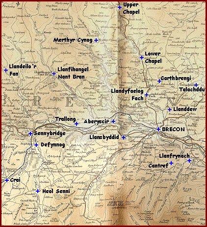
The shadowy line
down the middle of the map is where
the two pages in
the old atlas joined.
| Relief map of the area |
|
NOTE The shadowy line down the middle of the map is where the two pages in the old atlas joined. |
|
The image above was scanned from an old atlas printed just after the Victorian period but showing the area as it was around 1900. From it we can see that the Usk valley running across the middle of the map is like a crease between the two great upland areas of the Brecon Beacons and Mynydd Epynt. . |
|
|